Our AI learns
your plant.
Industrial Spatial Intelligence starts with your 3D model. We recognise what everything is, where it is and how it connects in a facility-wide spatial graph.
Explore spatial understanding Home
HomeSpatial Intelligence
Connect the physical plant with its equipment, drawings and work records. Understand the environment, build the asset register and give people and connected machines the context to act.
Four connected layers of intelligence. Start with the facility itself, bring the information you have, and let HyBird build what is missing.
Industrial Spatial Intelligence starts with your 3D model. We recognise what everything is, where it is and how it connects in a facility-wide spatial graph.
Explore spatial understandingUpload your existing register and connect it to the model. If you don’t have one, our AI generates an asset register from the facility’s spatial intelligence.
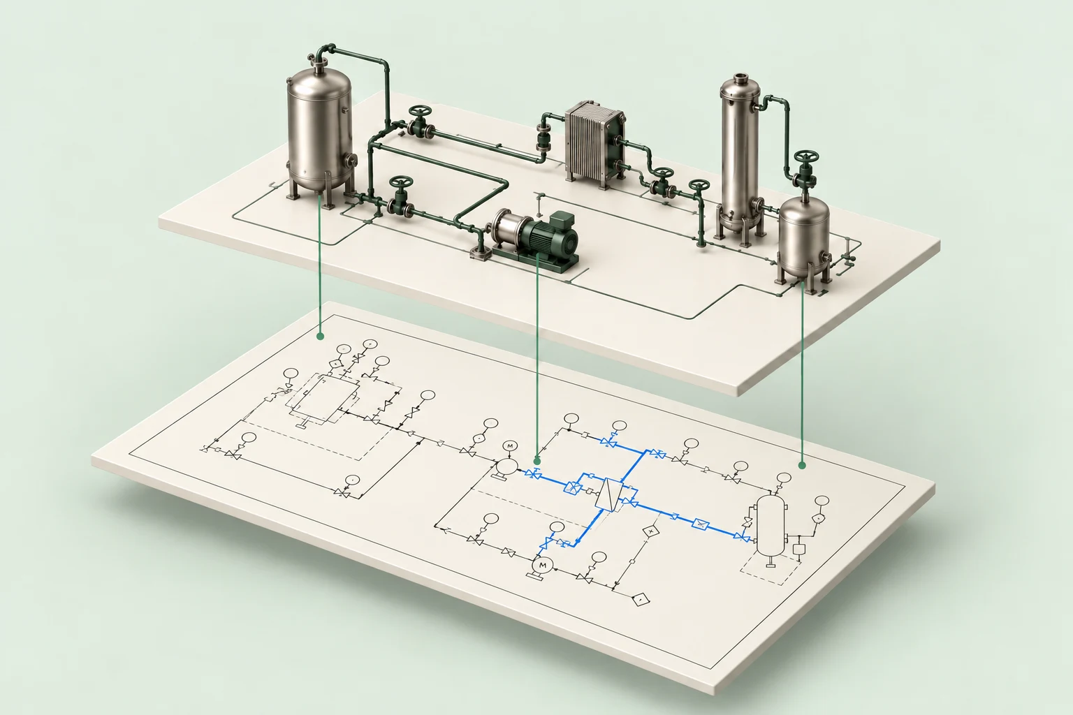
Build your asset foundationUpload drawings to validate and tag them to the 3D model. If drawings are missing, our AI generates P&IDs from its understanding of the facility.
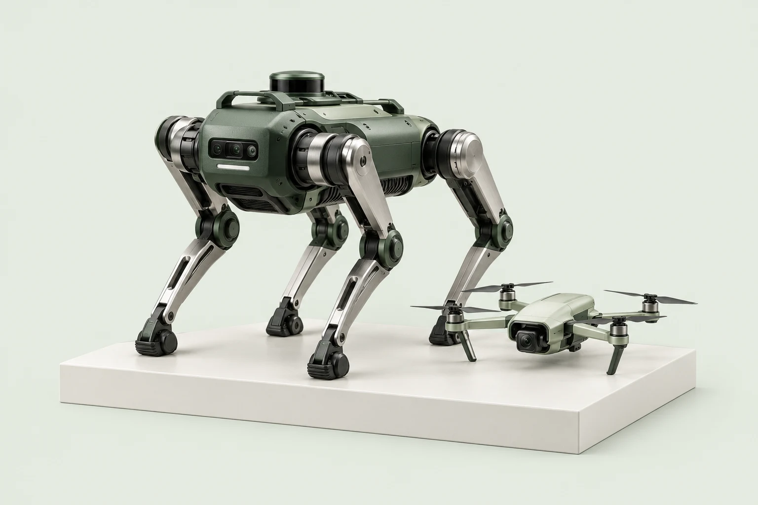
Connect your engineering drawingsBring the model, asset identities and engineering context into robotic inspection. Understand the task, plan the route and connect the findings to the right equipment.
Explore route planningSpatial understanding
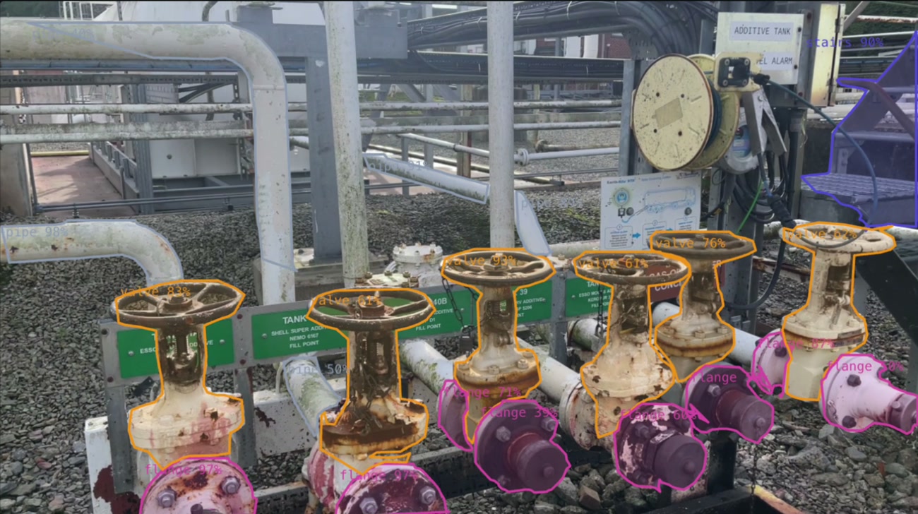
Recognise the equipment in the scene. Give it a class and a position in 3D. Connect that understanding to the facility’s spatial graph.
Valves, flanges and pipework identified in the scene, with their coloured 3D bounds shown alongside.
3D digital twin
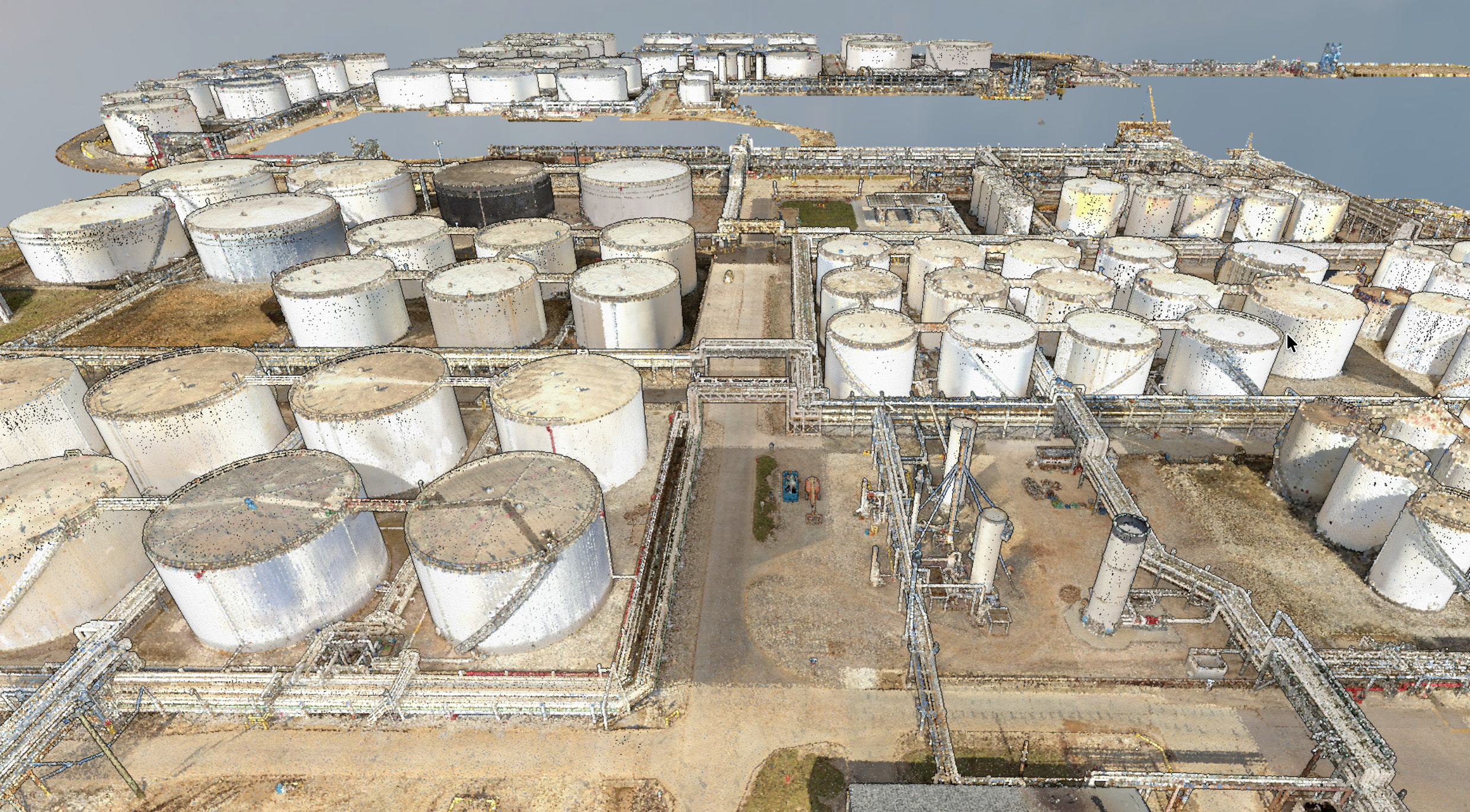
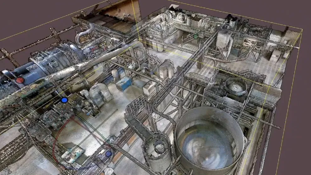
Navigate the 3D model, inspect a point cloud or open a 360° image. Bring the asset register, drawings and maintenance history alongside the physical environment.
A digital twin becomes useful when the information belongs to the equipment in view. Select labelled equipment in the model and open its connected asset details in the same workspace.
Understand the geometry of the site. Explore equipment, structures and the spaces between them, with asset information connected to the model.
Look around a captured position in the facility. See the surrounding equipment and site conditions in photographic detail, in their spatial context.
Select the same equipment in the model, a site photograph or a drawing. Open the records linked to it.
 Customer storyInside Holcim’s Siggenthal plant.Explore Siggenthal
 Facility intelligence
A scan shows what is there. A drawing shows how it connects. A work order says what needs doing. HyBird brings them together around the equipment, so people and AI can work from the same understanding.
Equipment recognition
From a flange and a valve to the system they belong to.
Your connected facility.
What would you like to ask?
Ask your facility anything…
High winds
Outside procedure limitsCalmer conditions
Proposed · confirm forecastLinked continuation ports preserve the route between drawings. Proposed valve positions require engineering review.
Find the drawing, manual and work record beside the equipment, with less time digging through paperwork.
Trace connected equipment and drawings so your team can review the full system before preparing work.
Bring field changes back to the model and records so the next job starts with current information.
The asset foundation
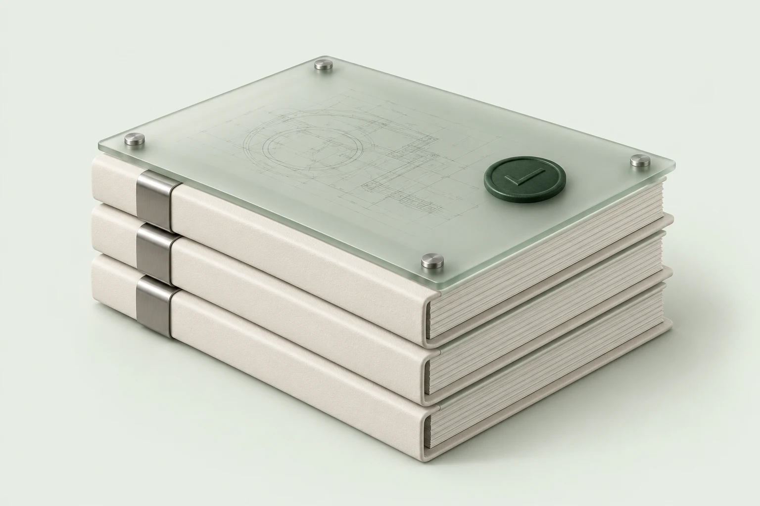
An asset register is the bridge between the physical plant and the systems that run it. Start with yours, or build it from what is actually on site.
Build your asset register todayThe facility spatial graph
HyBird’s spatial graph connects equipment, locations and systems across the facility. It brings together physical relationships and the engineering information that explains them.
Find an asset in 3D. Understand its place in the process. Follow its P&ID, open the relevant manual and see the maintenance work associated with it.
An identity, a position and a set of relationships.
 Drawings connected across the facility
From spatial understanding to engineering
Robotic path planning
A cement works, captured in its physical context.
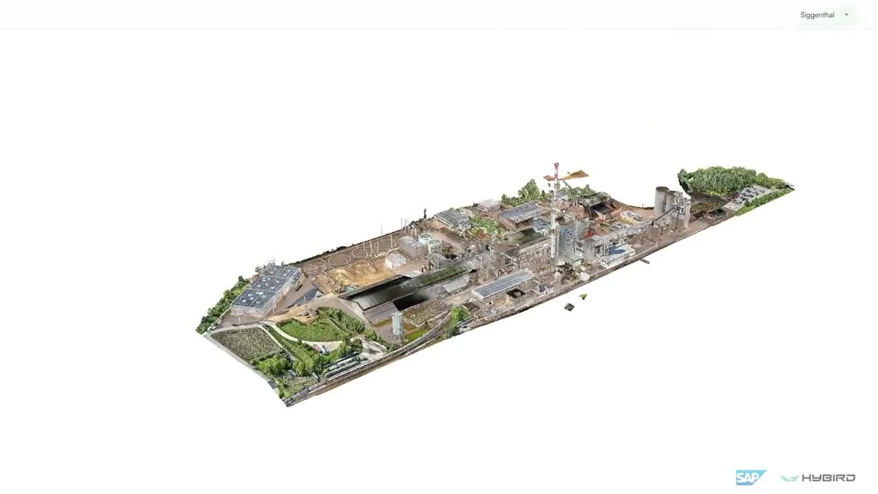 PreheaterCement silosProduction hall
Inspection routes are defined for each deployment.
Watch the SAP demonstrationReality Capture
Facilities change. Point your phone at the change and record a video. Reality Capture updates the 3D model, refreshes spatial intelligence and brings those changes into connected drawings, including P&IDs.
The model, the spatial graph and the engineering records stay connected to what is actually on site.
See how Reality Capture worksBring your drawings, site captures or asset records. We’ll show you how they can work together around your equipment.
Talk to HyBirdVisual localisation connects a mobile device to the facility model, bringing asset identities and records into your physical view. No QR codes or installed beacons.
Take the intelligence into the field