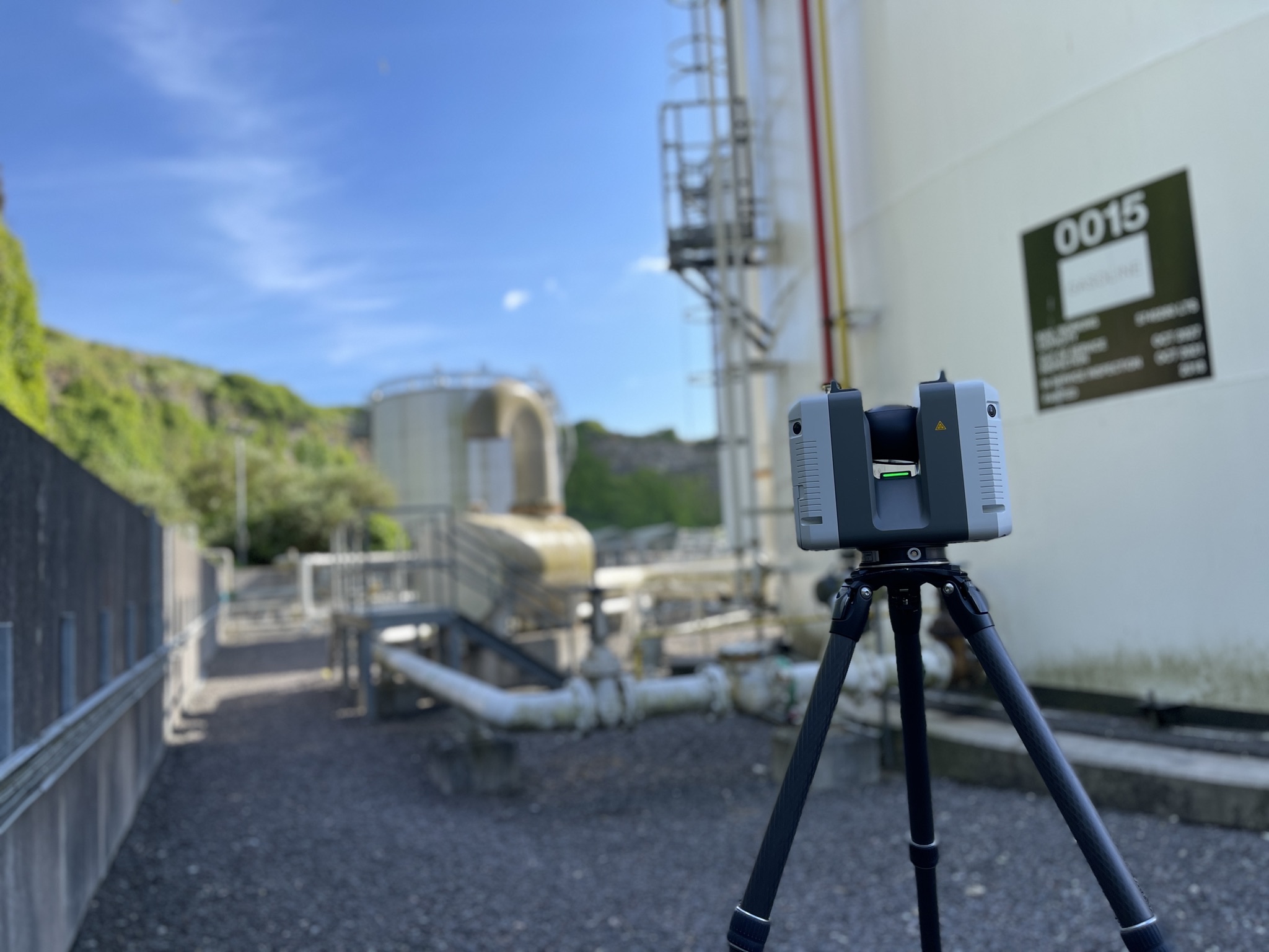
Ground capture.
Capture the facility with terrestrial scanning technology. Record the equipment, structures and access routes at the scale of the plant.
 Home
HomeReality Capture
A field change should not leave your digital world behind. Use your mobile phone to keep the model, asset intelligence and drawings connected to the site.
Capture the change
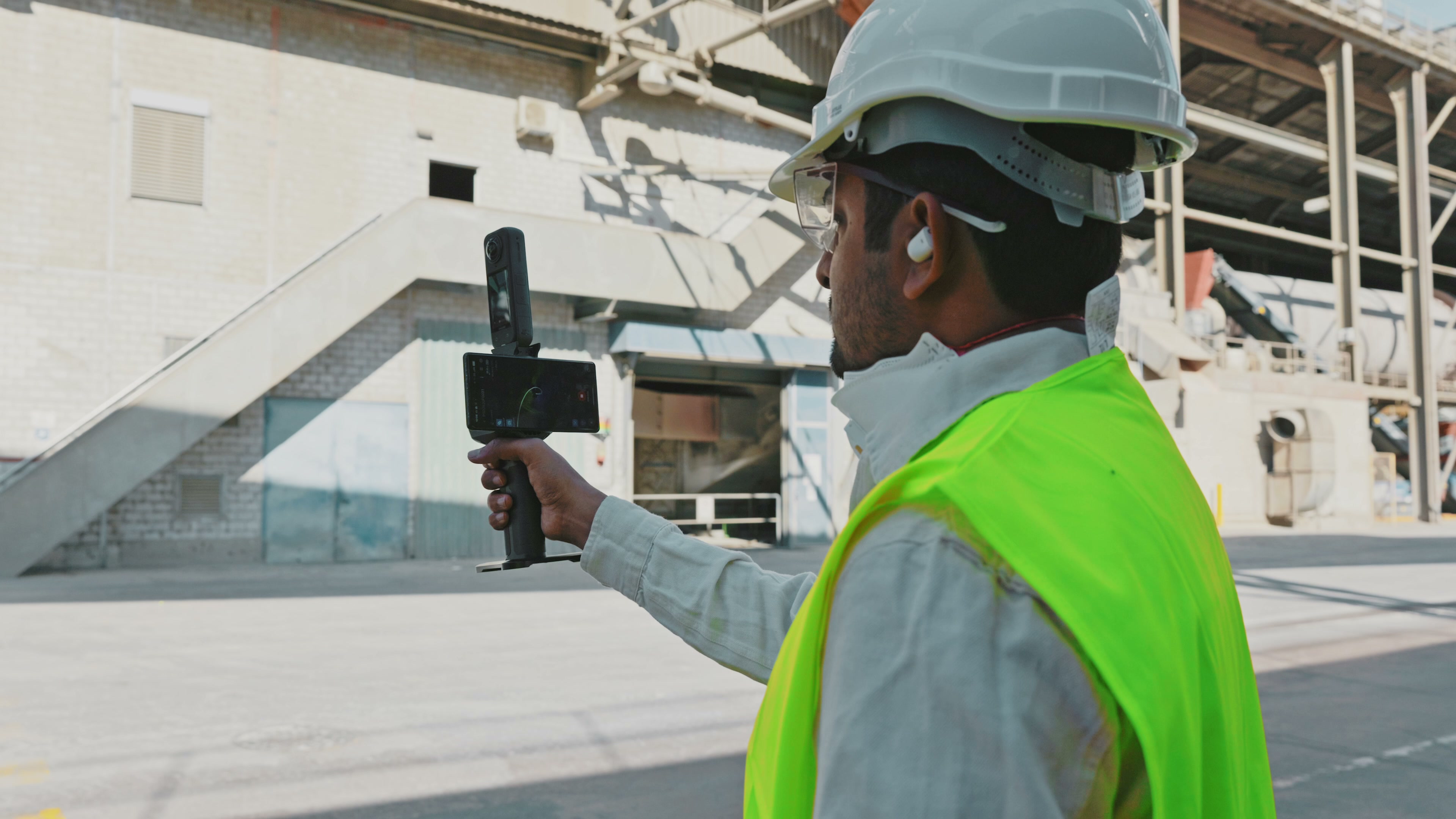
A new pump. A modified line. A changed layout. Walk the area and record a video with the phone already in your pocket.
Reality Capture brings everyday field capture into the facility’s shared spatial reference. Available through HyBird on iOS and Android.
Update the 3D model
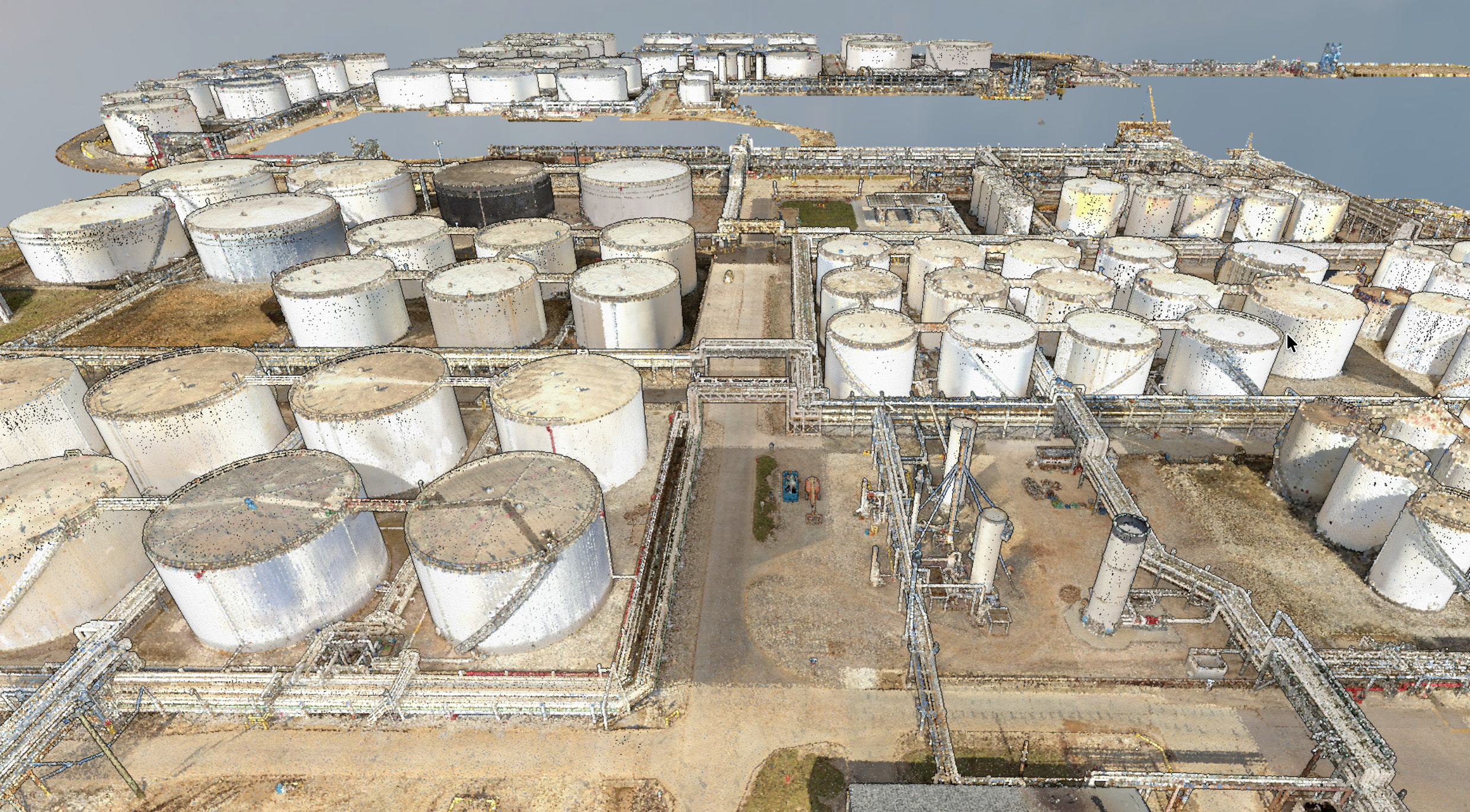
The captured geometry updates the existing facility model. New equipment takes its place alongside the structures, pipework and assets already there.
Teams can understand the change in context, rather than working from an isolated photograph.
Refresh the intelligence
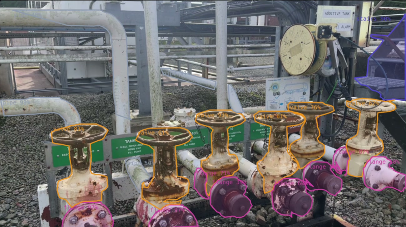
Identify valves, pumps and other equipment in the model. Link each asset to its tag, drawings and maintenance records.
Its identity, system and relationships can now inform engineering, field work and maintenance.
Bring drawings up to date
Bring the captured change into connected engineering drawings. A new asset or line becomes a proposed drawing update, with its physical context close at hand.
Review the engineering change and issue the approved revision through your document control process.
Explore drawing intelligence
3D scanning & deployment
Worldwide deployment for ground and aerial capture: LiDAR, photogrammetry and 360° imagery, planned around your operating site.
In one oil-sector programme, more than 800,000 m² were scanned and digitised in six weeks, alongside asset tagging and P&ID work.
Explore 3D scanning & deployment Invite us to your siteScanned and digitised in six weeks, with assets tagged, drawings generated, P&IDs validated and updated, and the AI model trained.
Read the deployment storyGlobal deployment experience, across Asia, the Americas and Europe.
HyBird deployment experienceIndustrial sites have different constraints: dense pipework, large structures, restricted access and equipment that cannot stop for a survey.
We combine ground and aerial LiDAR with photogrammetry and 360° imagery around the facility and the information the team needs.
Capture the facility with terrestrial scanning technology. Record the equipment, structures and access routes at the scale of the plant.
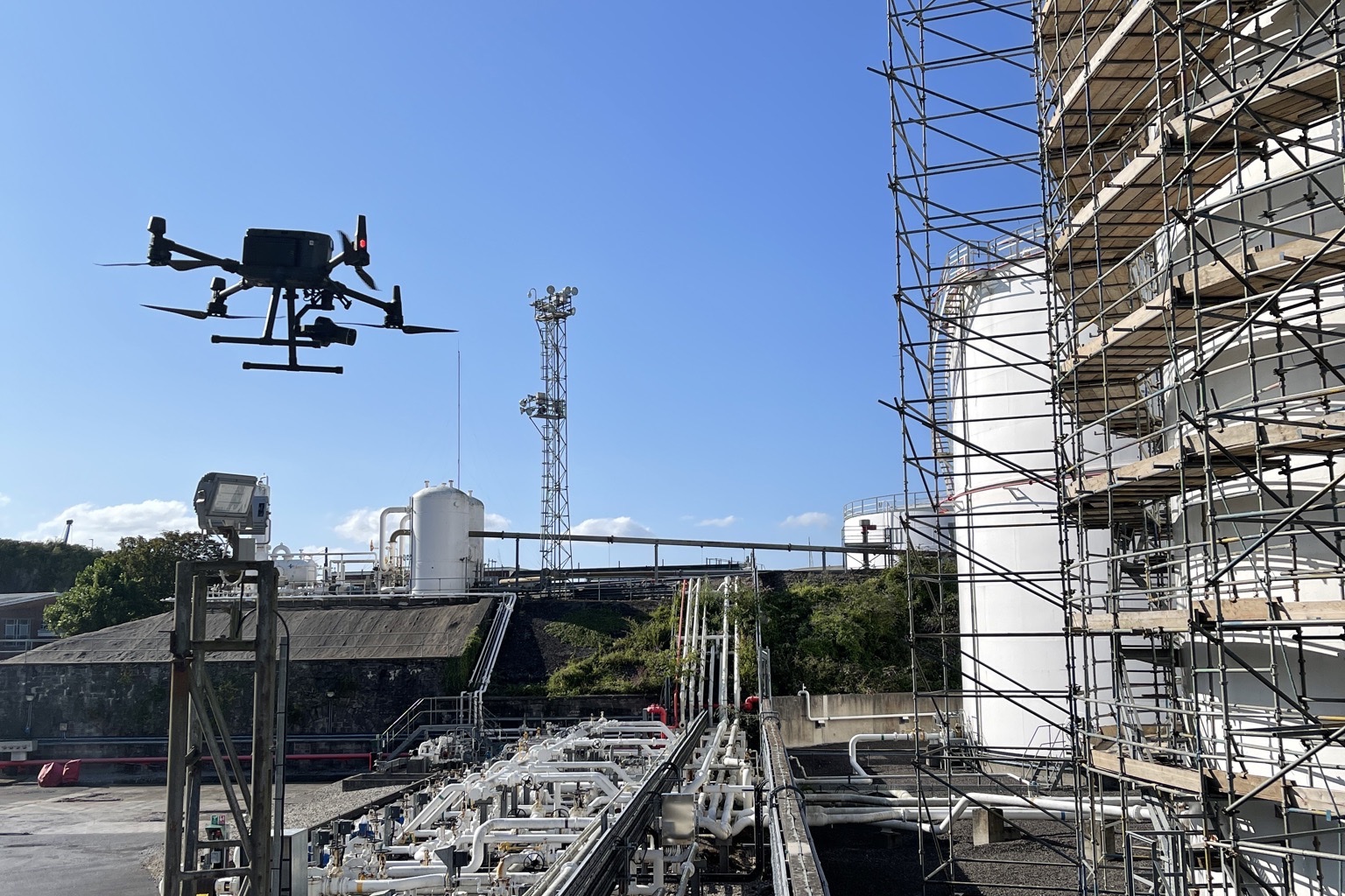
Bring elevated and difficult-to-reach areas into the same spatial reference. Combine aerial context with detailed ground capture.
 Customer storyInside Holcim’s Siggenthal plant.Explore Siggenthal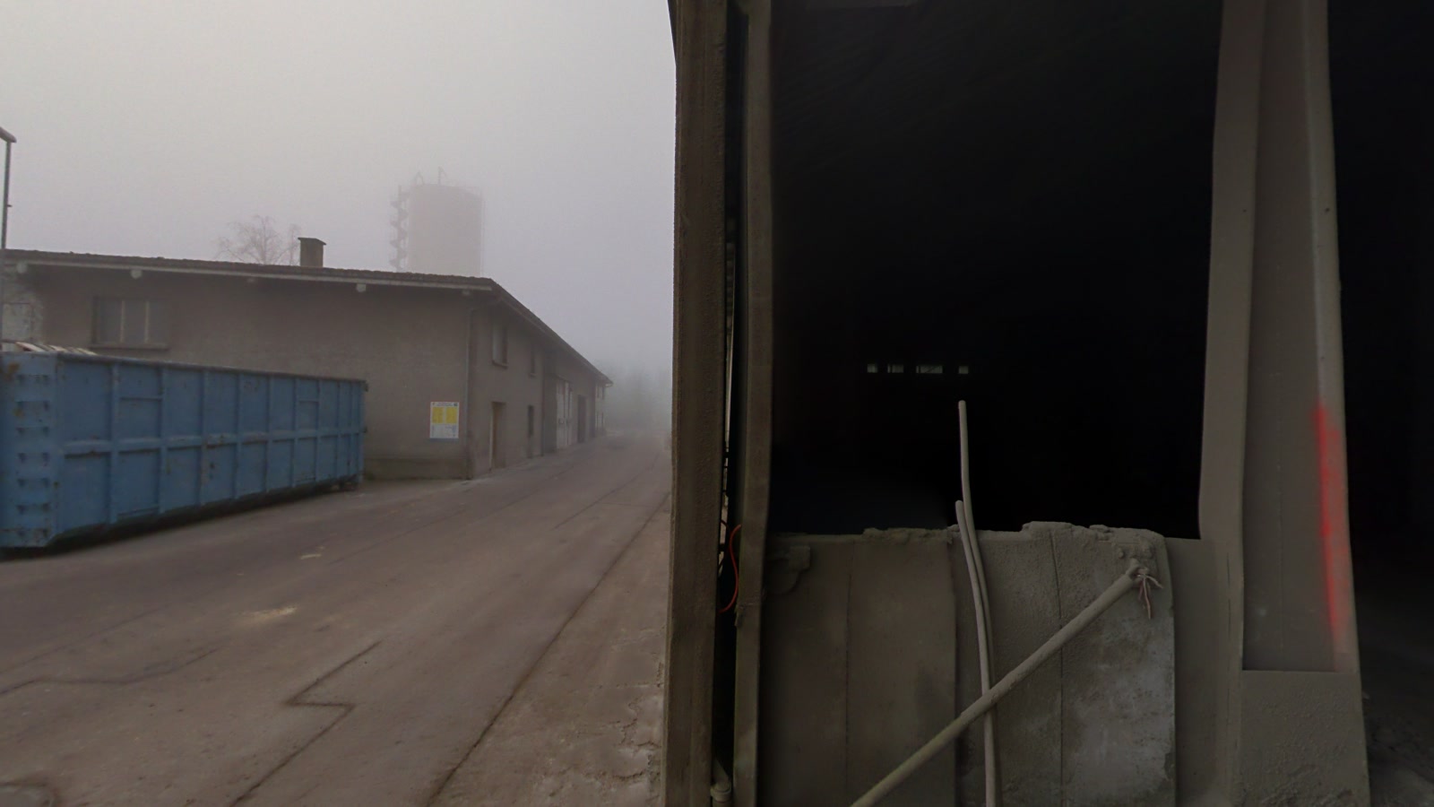
From scan to working digital twin
Bring point clouds, models and imagery into HyBird. Connect the asset identities, engineering drawings and documents that give the environment meaning.
The result supports remote engineering, field maintenance and a shared understanding of the site.
Explore Spatial Intelligence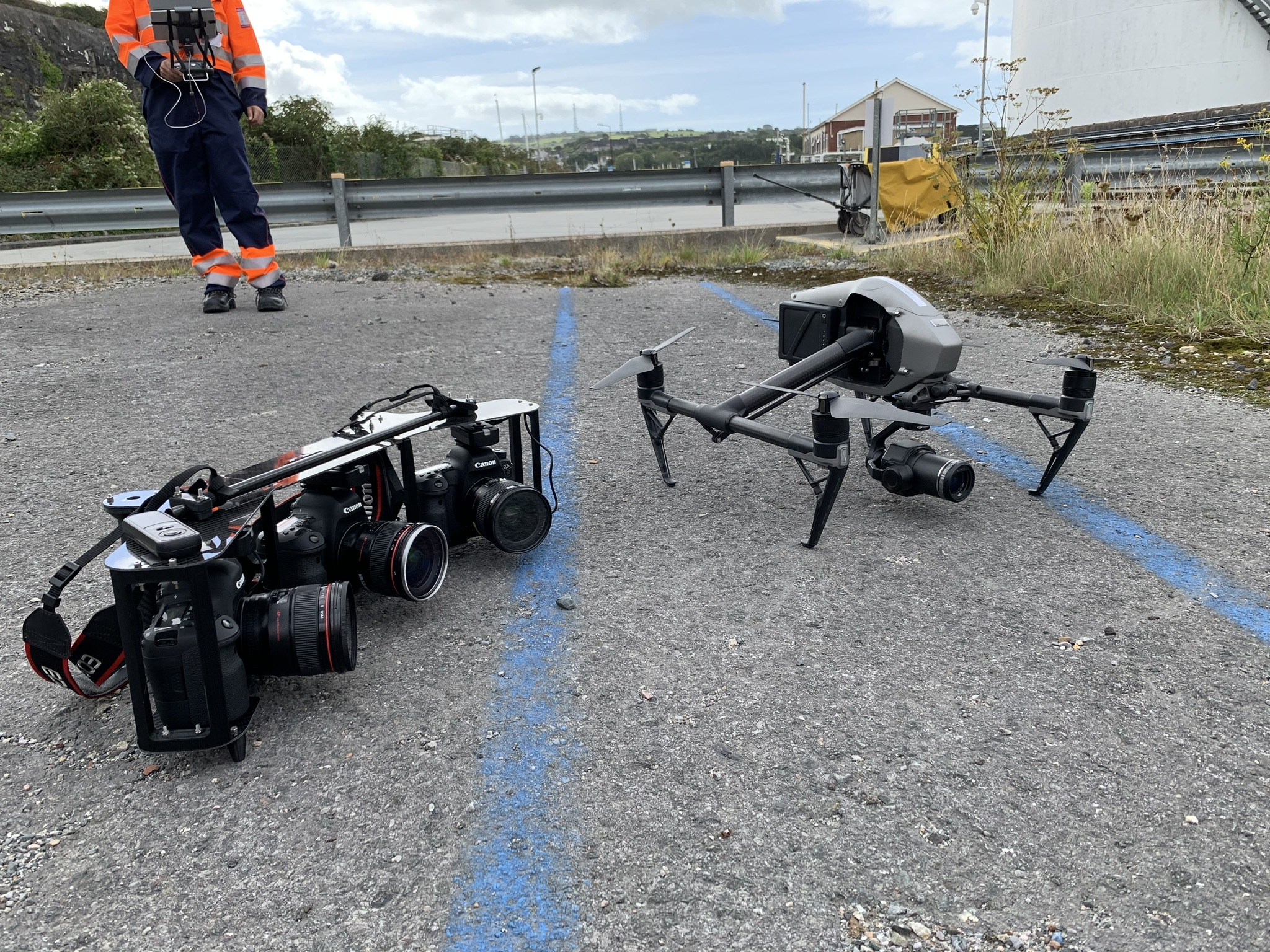
Industrial spatial expertise
Our spatial specialists combine AI, 3D capture and industrial engineering to solve practical problems. We work alongside your team, from understanding the site to putting the solution into use.
Bring us your spatial challenge. We’ll help you find the right approach, build the solution and get it working in the field.
Talk to our spatial expertsAgree the site scope, capture requirements and information priorities with the deployment team. Activate the model and connected workflows in stages as the facility becomes available.
Once the foundation is in place, use Reality Capture to bring everyday field changes back into the model, intelligence and drawings.
Plan your site capturePlan your site capture with our deployment engineers, then keep the model, asset context and drawings current with Reality Capture.
Talk to HyBird